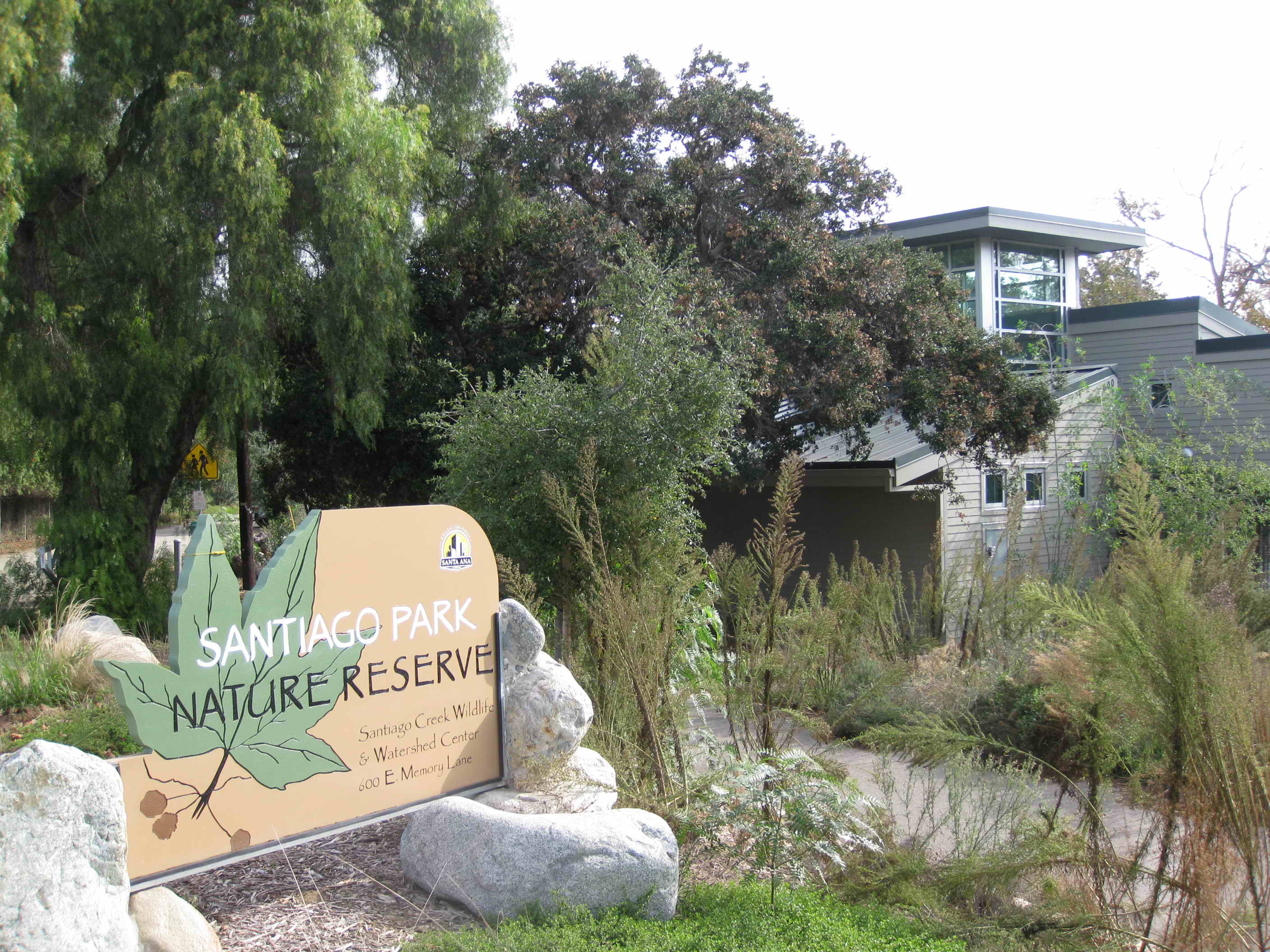
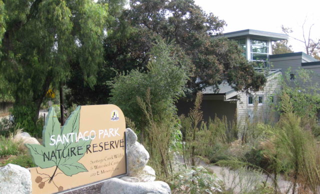
Santiago Park

600 East Memory Lane, Santa Ana, CA 92705

Santiago Park, running along the Santiago Creek close to the Santa Ana River, is a historic and archaeological site. Due to the Great Depression and the 1930s Dust Bowl, people who lost their homes settled along the Santiago Creek Watershed in shanty-towns. Santiago Park’s inception and construction began in 1935 as a project of the Works Progress Administration. Workers dumped debris into the creek bed to create the channel walls, preventing water from the Santiago Creek from flooding into the neighborhoods and orange, avocado, and walnut groves.

The Santiago Park Wildlife and Watershed Center’s mission is to educate and inform the Santa Ana community and Orange County residents of the importance of environment and habitat restoration, as well as plant and wildlife protection. The Center hosts summer programs for students to learn more about the park and nature in general. The nearby Discovery Science Center boasts a variety of educational, hands-on exhibits that also encourage the public to learn more about scientific phenomenon. It is a prime destination for school field trips, and Santiago Park has become an ideal lunch spot for the students and teachers.

Written By Carl Privette


2011

Santiago Park Mural

The Mural Former Santa Ana Parks, Recreation, & Community Services Agency Director Gerardo Mouet asked the mural’s artist, Roberto Del Hoyo, to paint a mural that displayed themes of Santiago Park and the Discover Science Center. Del Hoyo painted the center panel in his Los Angeles art studio. Over 100 volunteers from Santa Ana donated their time to help paint the other two wall panels under Del Hoyo's supervision. The mural's dedication ceremony was held on January 15, 2018. People walking from Santiago Park notice a unique artistic transition in the Santiago Park Mural. In the first half, the mural contains colorful depictions of natural and environmental beauty, including Eucalyptus leaves, water grass, California Poppy flowers, the Santa Ana River, and the San Gabriel Mountains. The other half then follows with countless pictures of cubes, spheres, and other geometric symbols. The mural boasts a plethora of vibrant blues, oranges, reds, greens, and violet colors to emulate natural and scientific beauty, and the very top of the center panel shows a stone bridge connecting nature and science. Tongva Tribe At the very bottom of the Santiago Park Mural are river rocks with Tongva Tribe glyphs. Historically, these glyphs appeared on rocks and boulders, representing some kind of Tongva ritual, such as hunting or coming-of-age ceremonies. The first Tongva people settled along the Santiago Creek Watershed during the 1700s. As a hunter-gatherer society, the Tongva gathered a variety of fruits, seeds, hunted small game, and fished to survive. The Tongva Tribe and other neighboring Natives experienced a culture shock with the arrival of the Spanish in the late 1700s. From about 1769 to 1833, the Spanish built missions and ranchos across Orange and Los Angeles Counties to Christianize and modernize Native tribes - i.e. calling Natives "Gabrielinos." In 1810, the King of Spain granted Jose Antonio Yorba and Juan Pablo Peralta the rights to Rancho Santiago de Santa Ana, which encompassed a large part of present-day Orange County. The Tongva depended upon the missionary system and Rancho Santiago de Santa Ana for survival. Sources: 1. Art Pedroza, "Over One Hundred Volunteers Show Up to Paint a New Mural at Santiago Park," New Santa Ana, Jan. 15, 2011. 2. Special Thanks to Anthony Novella, the Community Services Supervisor and Naturalist Matilde of the Santa Ana Parks, Recreation and Community Agency.

1 Related Artists